
How it works
Spatial insight, real-world impact — how Sharpe Blue turns movement and location data into decisions teams can act on.
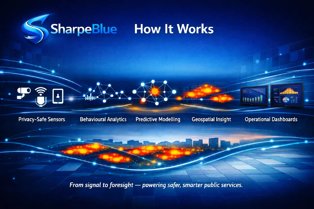
Spatial insight. Real impact.
Sharpe Blue ingests movement and location data, models where need is likely to arise, and surfaces it as decisions your teams can act on.
Predictive analytics
Advanced risk modelling anticipates demand and prevents harm.
Geospatial intelligence
Intelligent spatial guidance makes every journey more accessible, independent, and inclusive.
Scalable solutions
The platform adapts as your organisation grows and your demands change.
