What Is Spatial Intelligence? The Complete Guide for Public Services

Learn how SpatialAI reveals hidden patterns, predicts risk, and improves outcomes for councils, care providers, and venues.
What Is Spatial Intelligence? The Complete Guide for Public Services
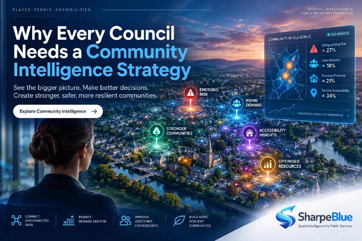
Public services are under pressure. Demand is rising, risk is increasing, and resources are stretched thin. Yet the data needed to make better decisions already exists — scattered across systems, teams, and places. Spatial intelligence is the discipline that brings it all together.
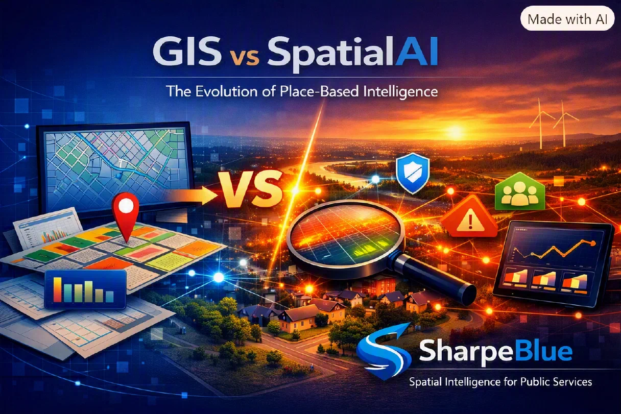
Spatial intelligence (SpatialAI) is the ability to understand how people, environments, behaviours, and risks interact across space and time. It reveals patterns that traditional analytics simply cannot see — and it’s becoming the next infrastructure layer for modern public services.
Why Spatial Intelligence Matters Now
Fragmented data = fragmented decisions
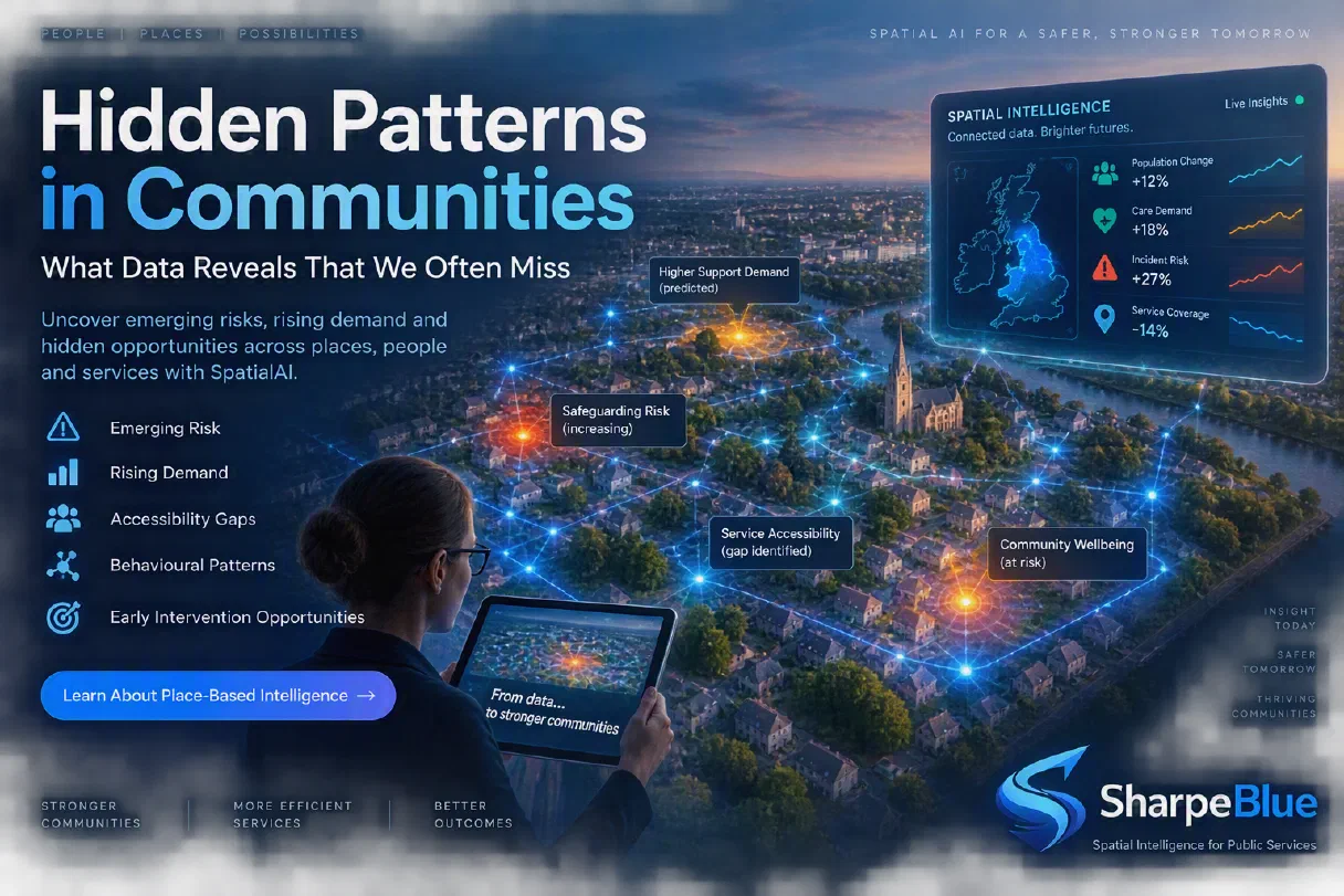
Councils, care providers, and venue operators rely on siloed systems: case management, workforce scheduling, incident logs, footfall counters, GIS layers. Each tells a story — but none tell the whole story.
Spatial intelligence unifies these signals into a single, predictive view.
The shift from reactive to proactive
Public services have historically responded after harm occurs. SpatialAI enables early‑warning signals, demand forecasting, and proactive intervention.
Better outcomes, lower cost
Spatial intelligence consistently delivers:
- Fewer incidents
- Earlier interventions
- More efficient workforce deployment
- Better safeguarding
- Improved visitor experience
- Reduced operational waste
How Spatial Intelligence Works
1. Spatial Modelling
SpatialAI models how people move, interact, and behave across environments — homes, neighbourhoods, venues, estates, transport networks.
2. Behavioural & Environmental Signals
It combines:
- Behavioural patterns
- Environmental conditions
- Operational activity
- Historical risk
- Real‑time flow
3. Predictive Outputs
SpatialAI generates:
- Risk predictions
- Demand forecasts
- Flow modelling
- Early‑warning signals
- Workforce optimisation insights
Real‑World Applications
Councils
- Safeguarding risk prediction
- Community insights
- Place‑based planning
- Resource allocation
Care Providers
- Early‑warning wellbeing signals
- Home‑visit optimisation
- Workforce fatigue prediction
Visitor Attractions & Venues
- Flow modelling
- Crowd safety
- Queue optimisation
- Dwell‑time insights
The SharpeBlue Advantage
SharpeBlue’s SpatialAI platform is built specifically for public services — privacy‑preserving, predictive, and operationally ready. It delivers intelligence that frontline teams can act on immediately.
SpatialAI isn’t a feature. It’s the future of public‑service delivery.