

Spatial intelligence
GIS vs SpatialAI: The Next Evolution in Place Based Intelligence
GIS vs SpatialAI: The Future of Place‑Based Intelligence
Articles and insight on accessible mobility from Sharpe Blue.
GIS vs SpatialAI: The Future of Place‑Based Intelligence
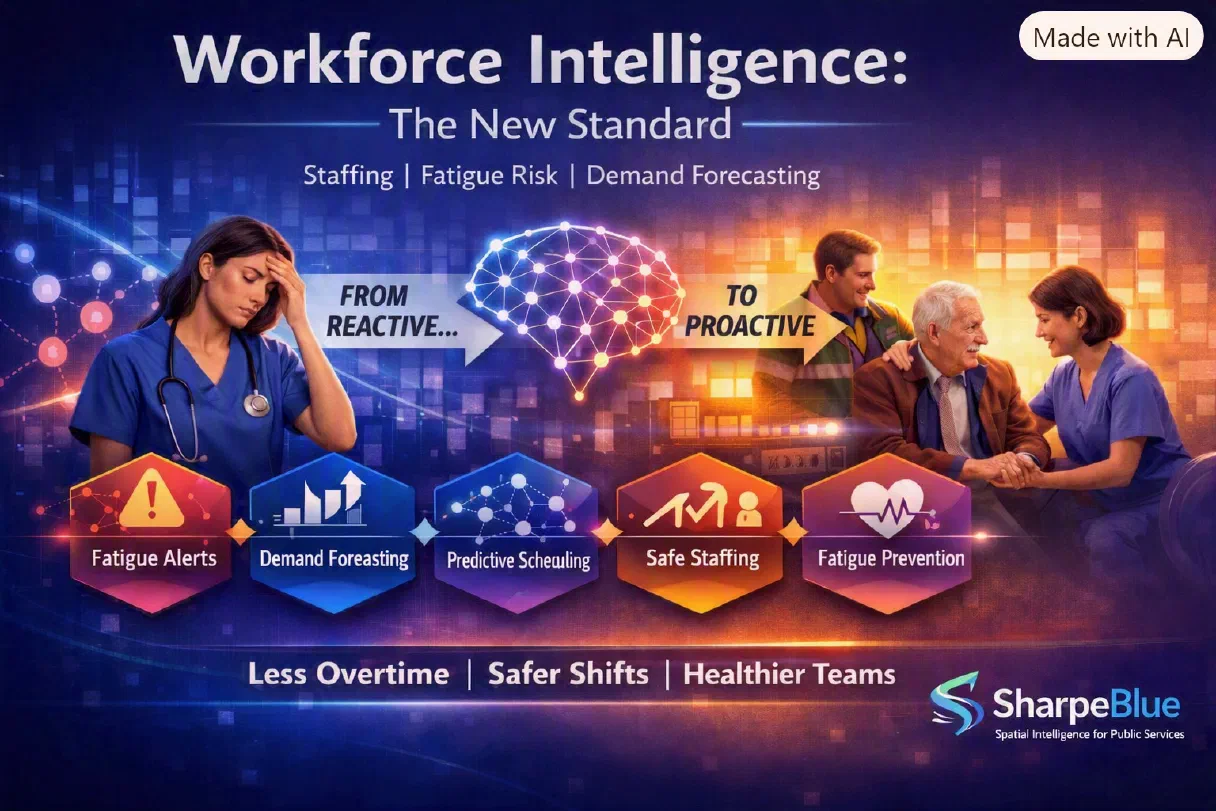
Workforce Intelligence: The New Standard for Safer Staffing, Fatigue Risk, and Demand Forecasting

Learn how SpatialAI reveals hidden patterns, predicts risk, and improves outcomes for councils, care providers, and venues.
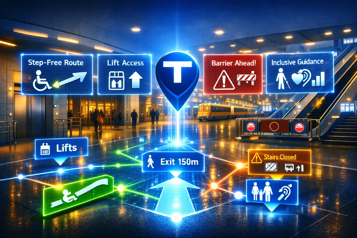
Step-free routing plans accessible journeys for every mobility need. Here's how it helps build cities everyone can move through.

Spatial data lets public services act before need becomes crisis. Here's how early-intervention modelling works in practice.

For public services, AI has to be explainable and fair. Here's what responsible spatial intelligence looks like in practice.

A digital twin gives mobility teams a live model of a space. Here's how real-time twins make journeys smoother and more predictable.
