
Spatial intelligence. Effortless movement.
Predictive, privacy-first technology for public-space navigation — live spatial models, accessible routing and augmented guidance for smarter movement.

Spatial intelligence. Effortless movement.
TRACA turns the spaces people move through into live, predictive digital models — so transport, care and civic networks can guide every journey with confidence. Privacy-first by design and trusted by leading networks.
Core features for smarter movement
The essential tools that enable accessible, predictive mobility across complex environments.
Live spatial models for real-time insight
Continuously updated digital twins surface what is happening across your network as it happens.
Continuous, accessible routes for all users
Step-free, inclusive routing keeps every journey open to everyone, automatically adapting to live conditions.
Augmented guidance for seamless journeys
AR wayfinding and operational mobility in one platform — clear guidance from kerb to destination.
Deploy. Integrate. Scale. Effortlessly.
- Flexible cloud or hybrid hosting — scalable hosting to fit any network, with minimal downtime.
- Unified API and schedule integration — connect data, schedules and platforms for real-time mobility management.
- Fast pilot deployment model — accelerate launches with modular pilots and easy network expansion.
- Accessibility and compliance built in — meet accessibility and security standards for inclusive, compliant mobility.
Mobility impact in numbers
- 750K journeys guided daily
- 95% on-time route accuracy
- 1.2M monthly data points
- 88% user satisfaction rate
AR navigation
Guide users with augmented-reality wayfinding through transit hubs and public spaces.
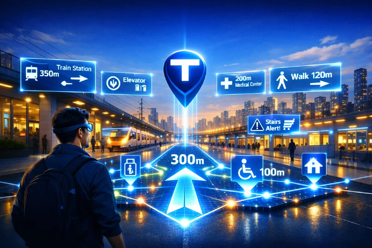
AR navigation guides people through busy transit hubs and public spaces with clear, augmented-reality wayfinding overlaid on the world around them.
What it does
- Overlays turn-by-turn directions onto a live camera view.
- Helps first-time and less-confident visitors find their way.
- Connects to step-free routing for fully accessible guidance.
Digital twin creation
Build accurate, real-time digital models of physical spaces to power operational insight and rapid deployment.
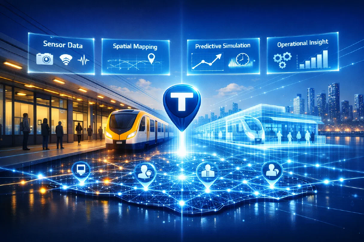
Digital twin creation turns transport hubs, care settings and civic spaces into living, data-rich models you can plan and predict against.
What it does
TRACA captures the geometry and live state of a physical space and renders it as an accurate, continuously updated digital twin. Teams see how people, vehicles and assets move in real time, then test changes in the model before committing to them on the ground.
Because the twin is built from standardised spatial data, it deploys quickly and stays current — giving operations, planning and accessibility teams a single, trustworthy view of the space they manage.
Step-free route modelling
Plan accessible, step-free journeys for every mobility need across transport and public spaces.
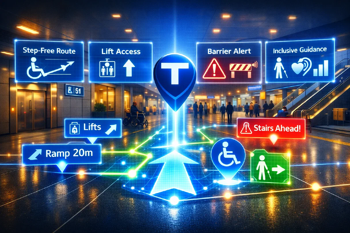
Step-free route modelling plans accessible journeys for everyone, so a space works as well for a wheelchair user or someone with a pushchair as it does for anyone else.
What it does
- Models step-free, level-access routes across complex spaces.
- Accounts for lifts, ramps, gradients and temporary obstructions.
- Surfaces the most comfortable route for each person’s mobility needs.
Ready to modernise mobility?
Request a demo and see mobility redefined in real time across transport, care and civic environments.
